
Copyright © 2020 Mahaweli Authority of Sri Lanka. All Rights Reserved.
Developed By H.D.Amal Tharanga, PMU-MASL


Land Use Planning Division
Key Activities
1. Development Area Identification
Land Use Planning Division is responsible for the new development area identification for new development projects to fulfill the objective of the Mahaweli Master Plan. It will focus on physical social, economic and environment development.
2. Preparing Development Plans
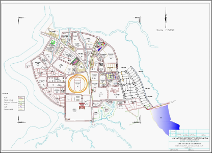
Development plans will prepare after the identification of new development areas. Integrated development plan will prepare in a hierarchy of regional, local, urban & rural area planning.
3. Preparing Resettlement Plans
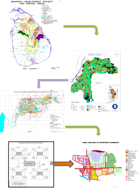
When there is new development projects most of the residential and agriculture land areas need to allocate for new development activities. Therefore, it needs to do the resettlement activities to relocate those communities with all the facilities.
4. System Level Land Use Planning & Updating
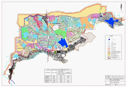
Land Use Planning Division is responsible for the preparation of System level land use plan and update them in time to time. Plan preparation activities are conducting by using latest technologies.
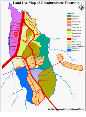
“Prosperous Lifestyle through Sustainable Land Use Planning”
Land Use Planning Division is playing vital role for the sustainable land use management in Mahaweli region. It is responsible for improving physical environment, strengthening urban & rural economy, conserving ecological equilibrium and fostering social values. In addition, the following stated to be the specific objectives in the land use planning division:
Establishing a harmonious relationship between areas to be devoted to residential, commercial, industrial, institutional, recreational and other purposes;
Providing for a planned and orderly development of an urban & rural area for the present and the foreseeable future;
Satisfying diverse needs of the community without conflicts and competitions;
Promoting strong urban and regional economies;
Helping the inhabitants of the city develop social cohesiveness and a sense of belonging to the community; and
Minimizing misuse, preventing abuse, regulating disuse and guiding reuse of land.
17 planners in head office and systems including land use planners, physical planners and town and country planners under the supervision of Assistant Director and Director (Land Use Planning) are responsible for developing, maintaining, updating and implementing the county’s comprehensive land use plan in compliance with land use planning goals and planning laws. It is the rational allocation of land for different activities/services in order to sustain the health, economic productivity, environmental sensitivity and social harmony for the present and future generations.
5. System Level Information Surveying & Analyzing
Before the preparation of development plan we are conducting field survey and basic information survey to analyze the existing situation of the propose area to be develop.
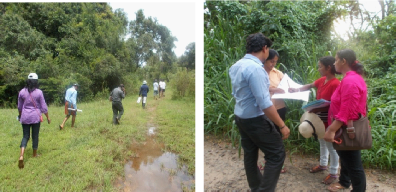
6. Approving for Compatible Land Use Changes
Land Use Planning Division has authority to do the recommendations to compatible land uses to ensure the secure land allocation in sustainable manner. System level physical planning committee will do the field inspections and recommendation for new land uses. In addition to that, conducting activities to regulate the irregular land uses.
7. Approving for Sand & Mineral Excavation
Approval for the sand mineral excavation activities are doing with conservation guideline. It will important to regulate the excavation progress and minimize the over extraction of mineral resources.
8. Land Use Mapping
Plan preparation activities are doing by using Geographical Information System (GIS) and Global Positioning System (GPS) in Mahaweli region with including structure plans, blocking out plans, unit plans and block plans.
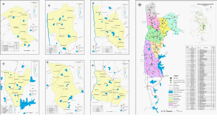
9. Environment Sensitive Area Reservation Demarcation
With the current development most of the environment sensitive areas are degrading and converting those land uses into other uses. We are doing environmental sensitive area boundary demarcation and protection plan preparation programs. Specially, tank reservation demarcation and tree planting programs for conservation activities are implementing. In addition to that, allocated forest lands from Mahaweli Master Plan will identify and planning for integrated environment management programs.

10. Awareness Creation/Public Consultation
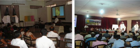
Aware the people about new development projects & main objective of it to incorporate their ideas to overcome the objections. In theoretically planning are doing for the people and they are the people who are beneficiaries. Therefore, we are doing public consultation and awareness creation of stakeholders of the proposing planning areas.
